The Santa Clara River Watershed encompasses over 1,600 square miles at the junction of 5 major California bioregions. This river system retains greater hydrologic integrity than any other in southern California, comprising a biological diversity hotspot of regional to global importance.
- There are many demands on water resources that impact biodiversity, including protection of numerous state and federally listed wildlife species.
- The 116‐mile‐long Santa Clara River flows from the Transverse Ranges through the cities of Acton and Santa Clarita in Los Angeles County, and the Ventura County agricultural areas of Piru, Fillmore, Santa Paula, Saticoy and into the Pacific Ocean between the cities of Ventura and Oxnard.
- Roughly 10,000 acres of the Santa Clara mainstem and lower tributaries are within the 100-year floodplain in Los Angeles County, and another 15,000 acres are in Ventura County.
- The Santa Clara River provides water supply to over 500,000 people in the watershed. There are over 85,100 acres of irrigated crops that depend on this river, providing enormous economic benefit to the area.
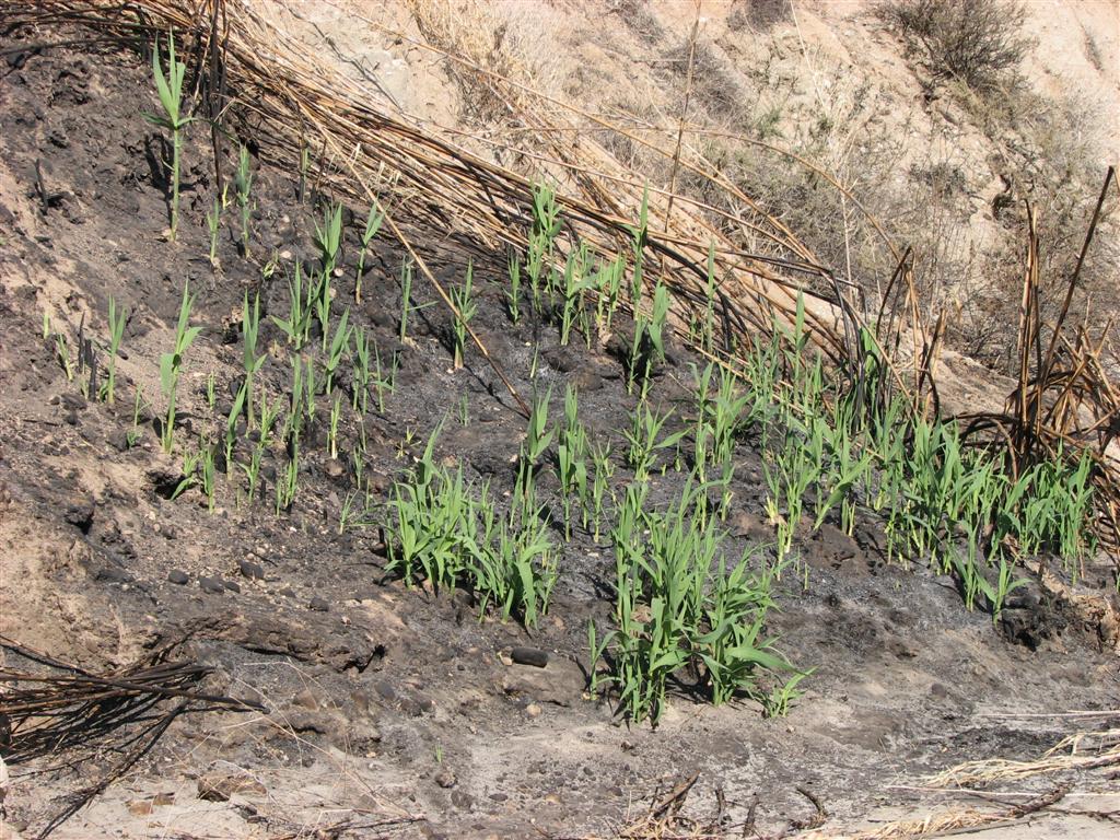
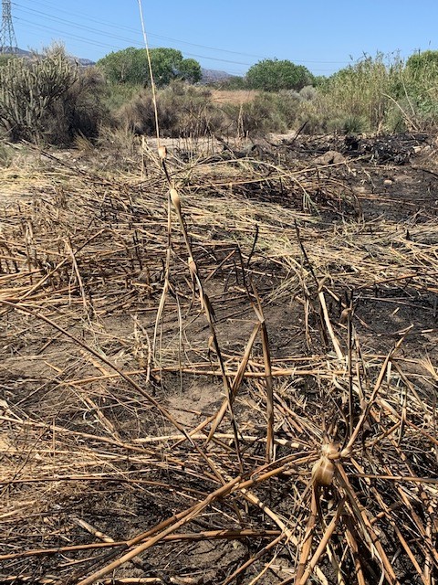
Arundo removal can help minimize disaster impacts of flooding, erosion, and sedimentation that occurs during El Niño storms or following wildfires which have become increasingly frequent in the river corridor. Careful water management is critical to ensuring water availability for a growing population, maintaining resilient groundwater-dominated ecosystems to benefit native species, the local human population, and a resilient agricultural community.
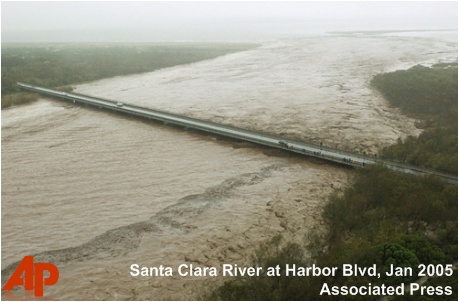
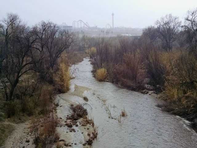
The Santa Clara River watershed is tectonically active, has steep erodible terrain, is subject to periodic wildfire, and has a semi-arid climate driven by ENSO climate fluctuations (El Niño events): water availability is characterized by drier La Niña years and periodic droughts, such as that experienced in 2012-2018, alternating with episodes of wetter El Niño years, which have historically occurred at roughly 5-8 year intervals on average.